PhD Research
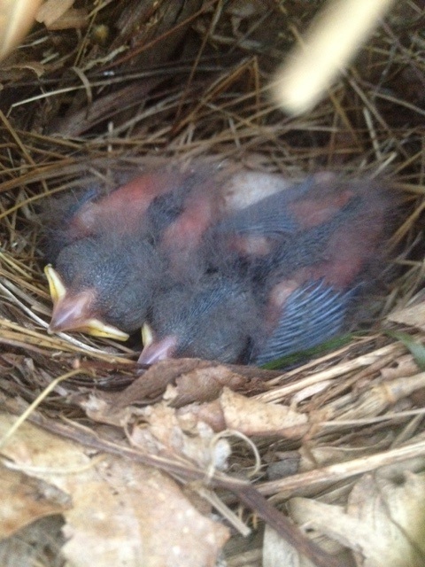
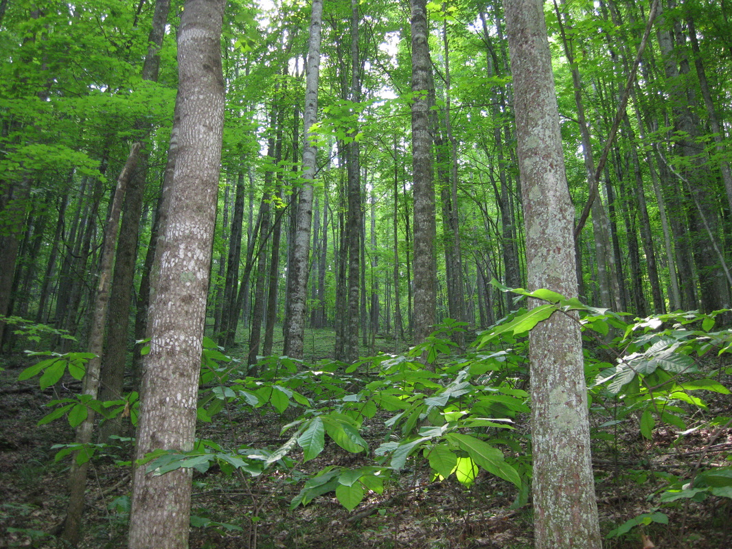
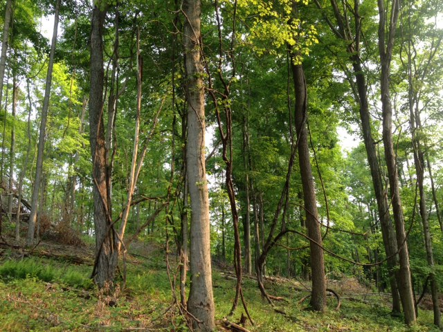
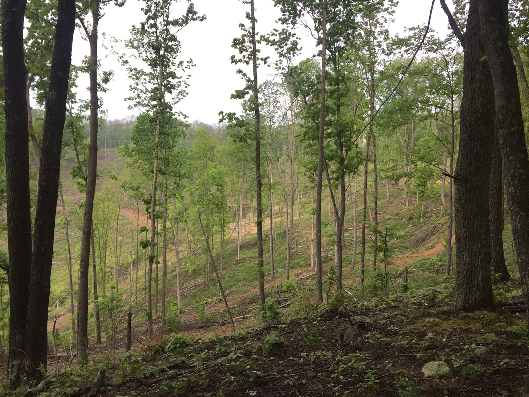
I studied the effects of silviculture on Cerulean Warblers (Setophaga cerulea) and five additional focal species. The cerulean is a steeply declining Neotropical migrant of conservation concern throughout its range. I used repeat point counts and territory mapping to quantify changes in abundance and territory densities, pre- and post-harvest. We know from previous research (here) that silviculture harvests, especially shelterwoods, are effective ways to manage breeding habitat for ceruleans. Harvests can mimic the preferred natural breeding habitat characteristics such as canopy gaps and structural heterogeneity.
We used a regional approach to conservation and management of the cerulean. I had study sites in Pennsylvania, Kentucky, and Virginia, in addition to my sites in West Virginia, where I conducted all of the field work. I was in charge of project coordination, map production, and regional analyses. I recently published some of our research in Forest Ecology and Management (Nareff et al. 2019).
I analyze data in RStudio and ArcMap. I use N-mixture models (hierarchical models) in the "unmarked" package in R to estimate abundance and detection probability based on our data. I can then predict under what conditions a landowner should expect the greatest changes in cerulean abundance (or any of the other focal species). I am looking at both landscape level and point level response of ceruleans and the other focal species by examining changes in abundance and territory densities. I used ArcMap to digitize hundreds of territorial observations for the focal species, create polygons to represent territories, produce layers of landscape metrics using different toolboxes, and spatially analyze the data. Additionally, I taught approximately 10 technicians how to use ArcMap and perform basic digitizing and editing within layers.